
Electrical Safety Month: Lessons from the Field with RTR Energy Solutions’ Brad Ritter
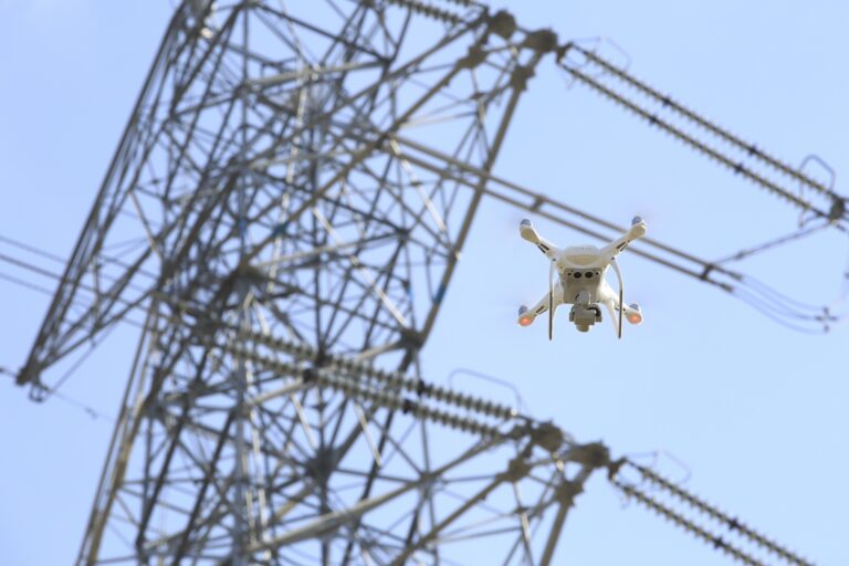
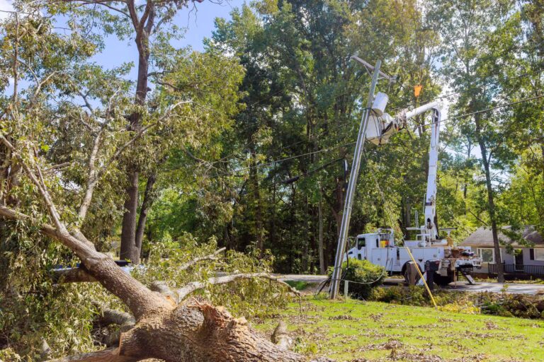
Electrical Safety Month is a reminder that safety is not just a procedure in utility work. It is a mindset built through preparation, communication, and constant situational awareness. In industries where teams work around energized systems, damaged infrastructure, and rapidly changing conditions, safety decisions matter every second of the day.
(more…)